Mar. 10, 2020
Creation of HD maps for automated driving on surface roads
RELATED CONTENT
Mar. 10, 2020
TRI-AD enables successful creation of HD maps for automated driving on surface roads
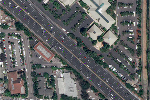
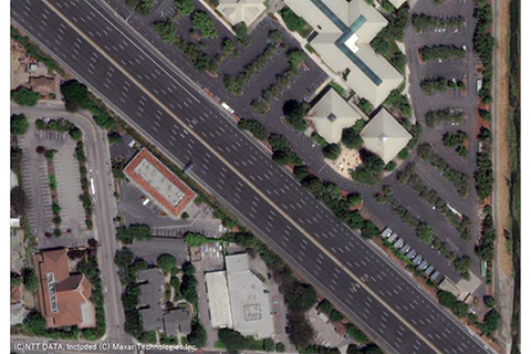
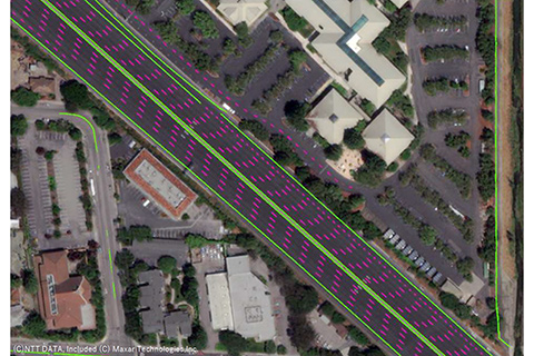
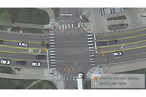
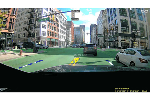
Toyota Research Institute-Advanced Development, Inc. ("TRI-AD"), Toyota's automated driving software development company, has successfully completed proof of concepts ("PoC") demonstrating high definition ("HD") map building for surface roads with relative accuracy of less than 50 centimeters, a good level that is required for automated driving.
